4.6
3.5K review
Everyone
Content rating
400.4K
Downloads


About this product
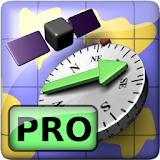
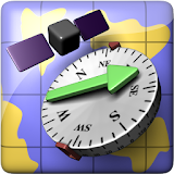
AR GPS Compass Map 3D description
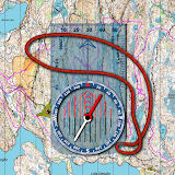
AR GPS Compass Map 3D - The Augmented Reality 3D Compass with an integrated split-screen map!Locating landmarks (e.g. via latitude / longitude) has never been easier thanks to a green arrow on top of the compass that always points towards the currently selected landmark !
Our unique fusion and filtering algorithm that combines the values of the magnetic field sensor, the accelerometer, and the gyroscope gives you a maximum in precision and stability of the compass.
A special feature is the ability to measure the height of large objects, such as houses or trees. Check it out, it's really easy.
Features:
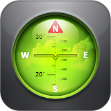
* 3D Augmented Reality display
* High precision and stability
* Integrated split-screen map of adjustable size with GPS location
* Display various GPS information (latitude, longitude, speed, altitude, number of satellites,...)
* Measure the height of large objects (skyscrapers, trees, ...)
* Measure magnetic field strength (metal detector)
* Magnetic field strength warning (indicates magnetic influences)
* Geocaching: Easily define and find landmarks
* Share landmarks or your current location with other users
* Define landmarks by specifying latitude / longitude in various formats
* Define landmarks by a long-press on the map
* Define landmarks by specifying distance and bearing
* Supports LG’s Real3D technology for stereoscopic displays
This is the Free-Version. There is also a Pro-Version available. Please check our other apps, you can find it there :-)
Have fun :-)
Alex from CodeKonditor